
You are here
Does your project suffer from a lack of water
Price:
ask for a quote
Ad Category:
Location:
Seller:
Description
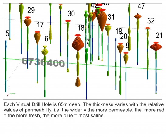
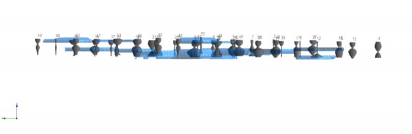
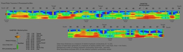
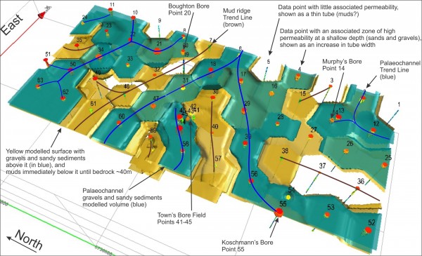
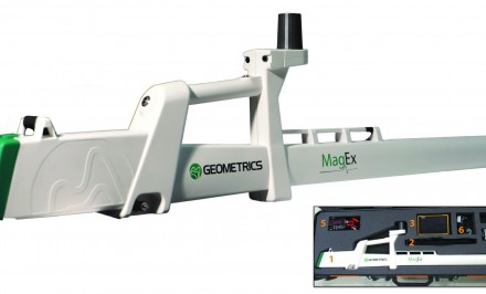
Save Money Drilling Blind, use Virtual Drilling! Seismoelectric exploration for bore positioning and 3D mapping groundwater flow paths in porous and fractured aquifers up to depths of 200m to 300m. Also map flow paths across reservoir and dam walls. Travelling Australia wide and internationally since 2003. Bore Placement, Aquifer Mapping, Groundwater Flowpaths, Seepage and Transport paths.
Related Ads

Categories
Equipment
83 ads
45 ads
26 ads
65 ads
26 ads
32 ads
- Field Exploration 83
- Field Consumables 45
- Computers and Software 26
- Lab/Metallurgy 65
- Rentals 26
- Other 32

sign up to find gold...

